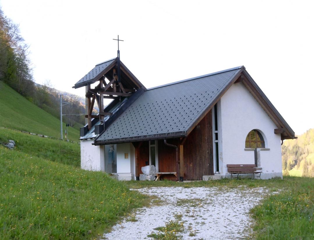
Sainte-Marie-Madelaine Chapel
Placed under the protection of Sainte-Marie-Madeleine, the chapel was reconstructed in 1995 following the plans of architect Christophe Huber.
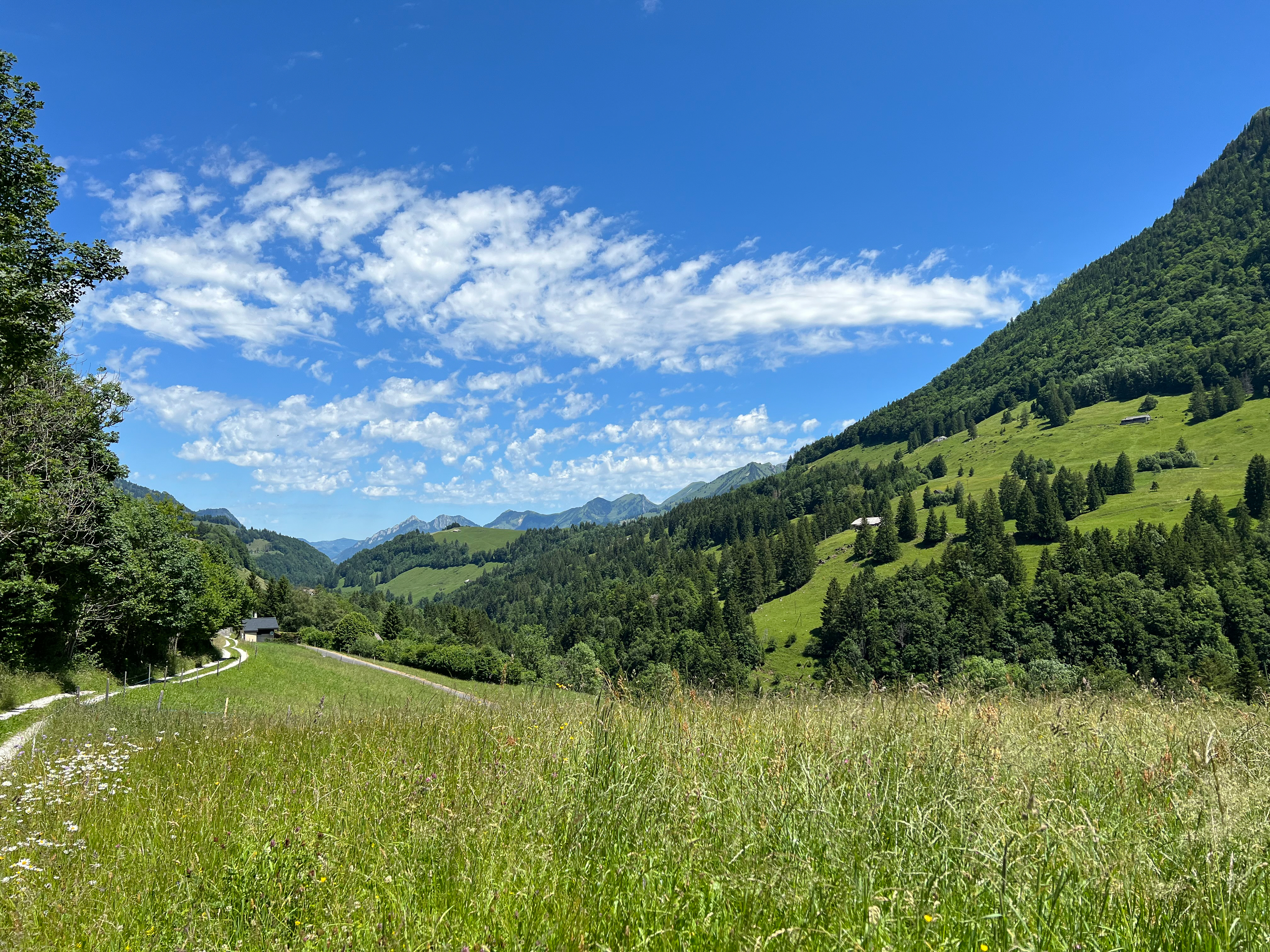
1669 Haut-Intyamon
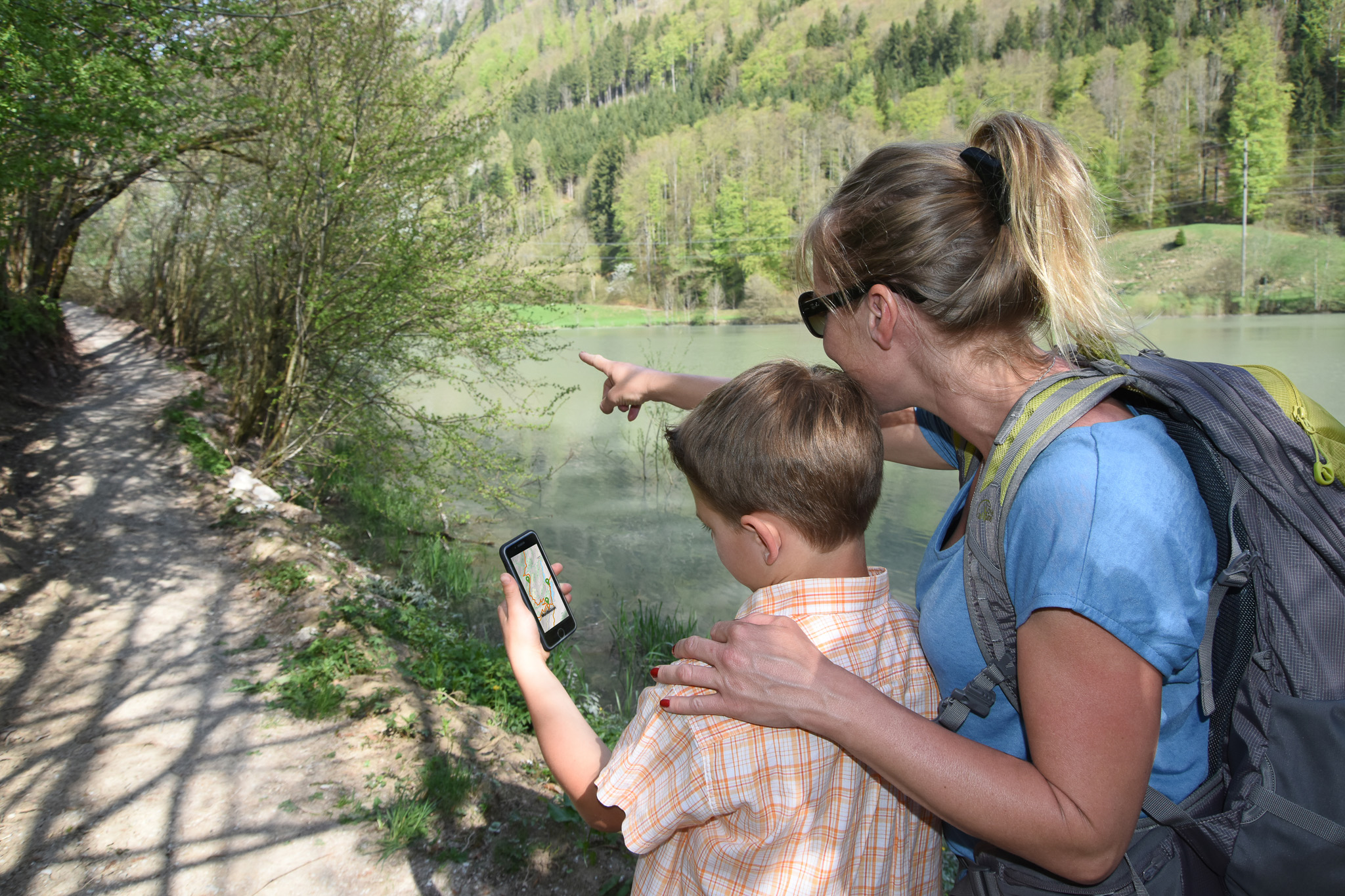
Road conditions may vary at any time. Please consult SwitzerlandMobility before setting off on your hike. Check the Hiking in Switzerland box to see which paths are passable and which.
The free Cheese trails app lets you follow the cheese trail Le Gruyère AOP and the cheese trail L'Etivaz AOP itineraries with all the information in your pocket! It lists and provides information on :
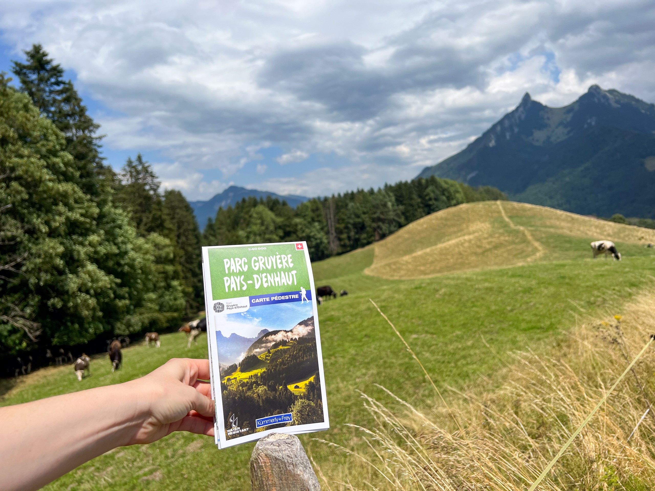
Published by Kümmerly+Frey on water-resistant paper, this topo map shows all the hiking routes in the Park. The Vias du fromage and Grand Tour des Vanils trails and the Tour du Comté de Gruyère ebike loop are highlighted.
The map costs 19.00 (+ 2.00 postage).