Les Combes-Château-d'Œx 

Suggestions

Itinerary

road conditions

In Château-d'Œx, the footpath between the STEP and the Ramaclé waterfall is closed until further notice.  The condition of the paths may vary at any time. Please consult SwitzerlandMobility before setting off on your hike.
 

Fermeture chemin Pont Turrian - Swisstopo

Smartphone app

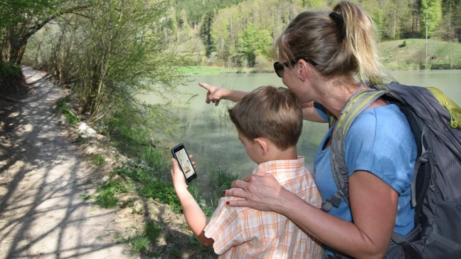
The free Cheese trails app lets you follow the cheese trail Le Gruyère AOP and the cheese trail L'Etivaz AOP itineraries with all the information in your pocket! It lists and provides information on :

  • the stages (maps, stage descriptions, journey times, etc.)
  • points of interest (museums, monuments, curiosities, etc.)
  • various options for eating out
  • accommodation
vias application-2048x1151

THE WALKING MAP OF THE PARK

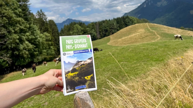
Published by Kümmerly+Frey on water-resistant paper, this topo map shows all the hiking routes in the Park. The Vias du fromage and Grand Tour des Vanils trails and the Tour du Comté de Gruyère ebike loop are highlighted.

The map costs 19.00 (+ 2.00 postage).

Carte KF-4032x2268
Les Combes-Château-d'Oex colline du temple
Les Combes-Château-d'Oex descente

Points of interest

Sarine Alluvial Zone
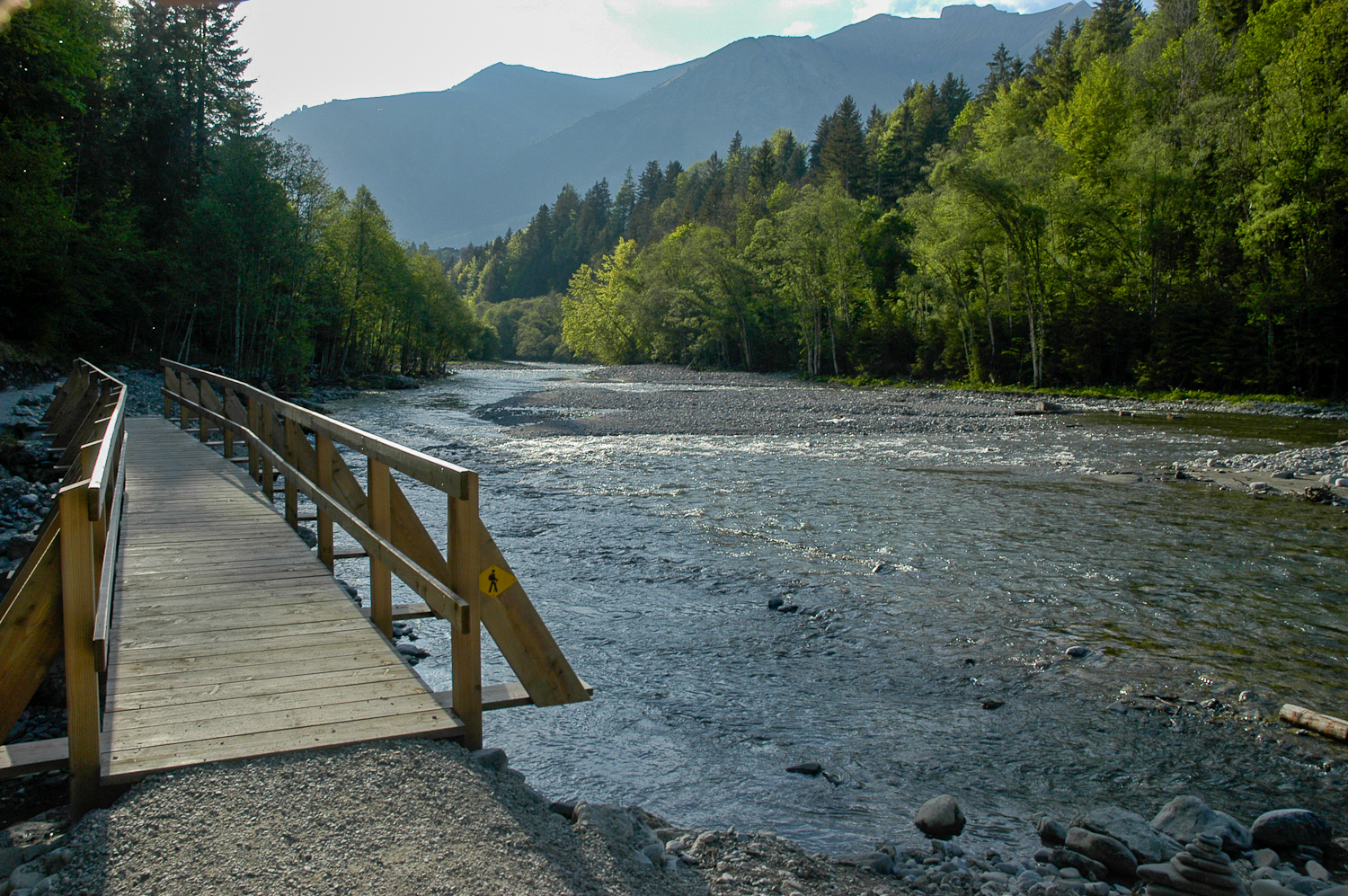
The Sarine Alluvial Zone is located south of the village of Château-d’Œx, at 900 altitude. The environment through which the Sarine flows remains close to its natural state, with an impressive variety of flora. Because this section of the Sarine is neither altered nor restrained, the dynamic of the river and the location of different channels in the alluvial zone is constantly changing. Between Gérignoz and Turrian Bridge, the Sarine only descends 19 m in altitude as it travels over 2 km. This extremely gradual slope allows the river to separate into several channels and form small stone islands, often covered by pioneer vegetation. Periods of high water levels sometimes modify the path of the Sarine. Some islands disappear while others are created. Thanks to this dynamic, the alluvial zone harbors the largest grove of alpine white alders in the canton of Vaud, a species capable of growing very quickly on islands and riverbanks. The piscicultural fauna and certain nesting birds (s
Route des Granges
1660 Château-d'Oex
Turrian Bridge
Turrian Bridge
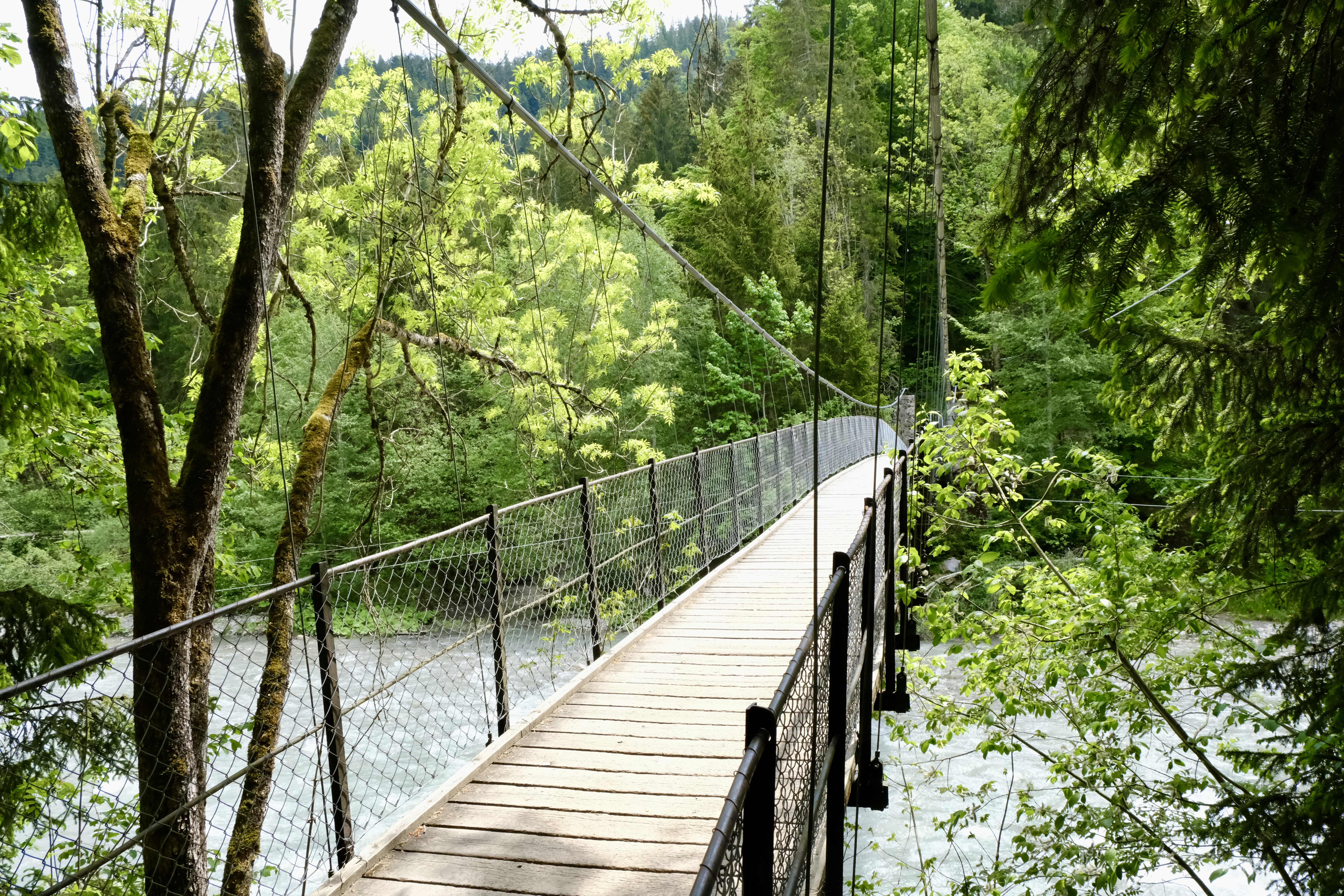
The Turrian Bridge is the oldest suspension bridge in French-speaking Switzerland. It crosses the Sarine with a view of the Ramaclé alluvial zone, classified as a site of national importance.
Le Berceau
1660 Château-d'Oex
Château-d’Œx
Château-d’Œx
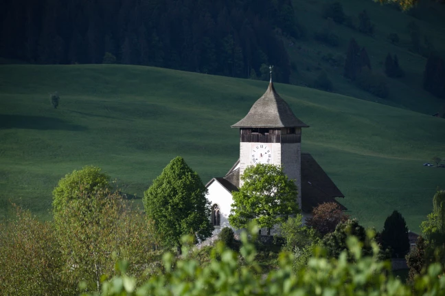
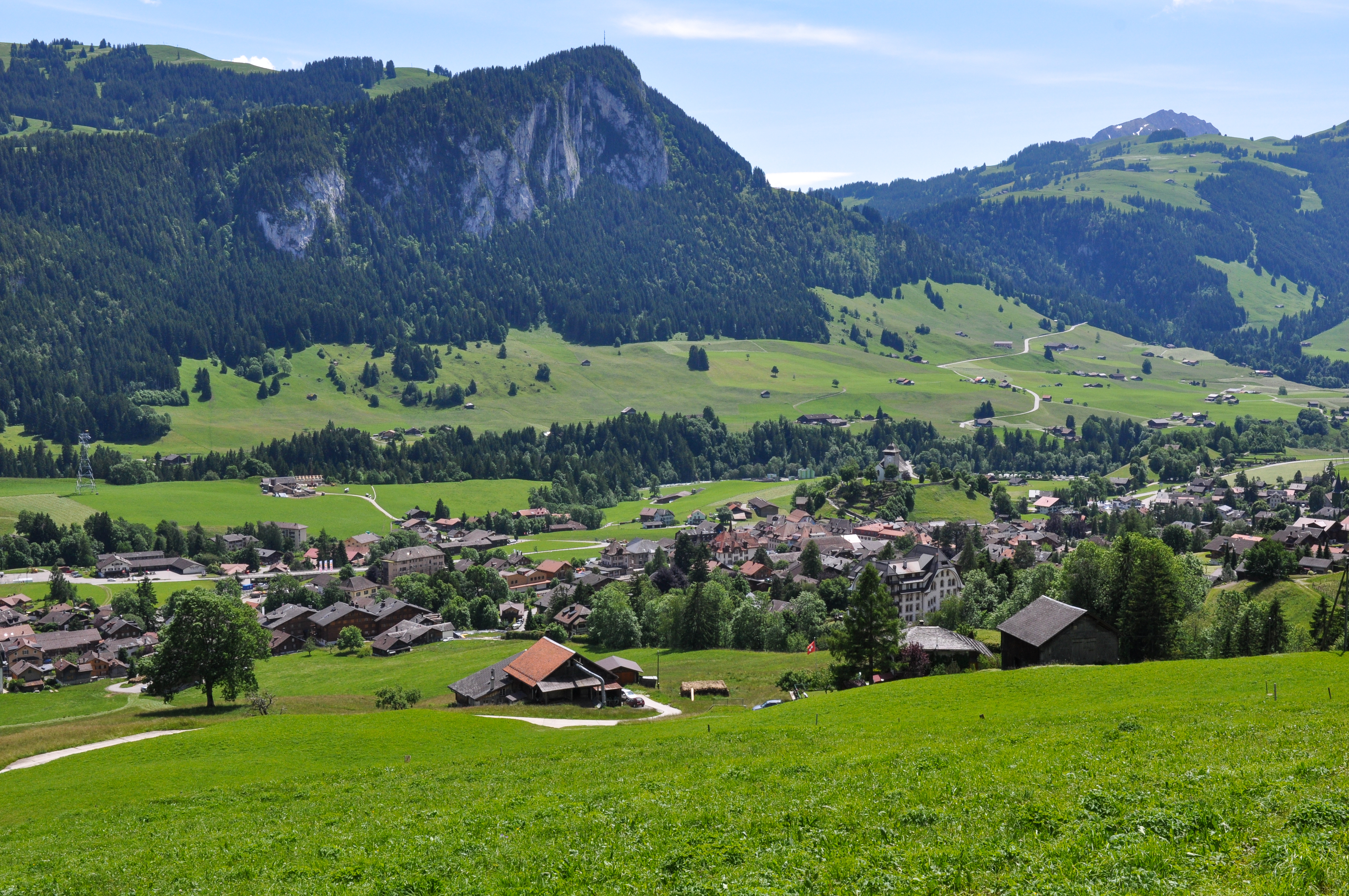
Château-d’Œx, with its double calling as a haven of agriculture and tourism, includes the villages and hamlets of Moulins, l’Etivaz, La Lécherette, Gérignoz, and Granges. Architectural gems dot the region: in town a group of marvelous stone buildings constructed after the fire of 1800 and in the rural surroundings superb examples of 17th and 18th century wooden farms. Surrounded by three mountains ranges, the largest municipality in the canton of Vaud is also home to the magnificent Pierreuse Nature Reserve established in 1945 and managed by Pro Natura. The mountainous region gives way to several valleys dominated by high limestone cliffs. The subalpine and alpine vegetation includes remarkable grasslands and marshes. Chateau-d’Œx offers multiple activities to visitors with its various sports facilities (ice-skating rink, bowling alley, gym, sports hall, pool, campground, ski-lifts) and cultural activities (movie theaters and museums).
1660 Château-d'Oex
Find a wide selection of points of interest, accommodation and catering options on the free Cheese Trails app.